The BC River Forecast Centre says the water levels in the Fraser and Nechako Rivers have been rising rapidly recently.
That’s according to David Campbell, Head of the BC River Forecast Centre who says the rise is primarily due to the warm weather melting snowpacks.
“The flows themselves and the levels we’re seeing are quite high for this time of year, and that’s really come along particularly in the last week,” he explained.
Most of the melting snowpacks impacting the flow are located East of Prince George, particularly in the Rocky Valley, Mcbride and all through both sides of the mountains.
“Also a lot of the local melt in and around Prince George up to Bear Lake, Summit Lake and areas in the Nechako, a lot of that area has melted over the last couple weeks so a lot of the water is also coming from there.”
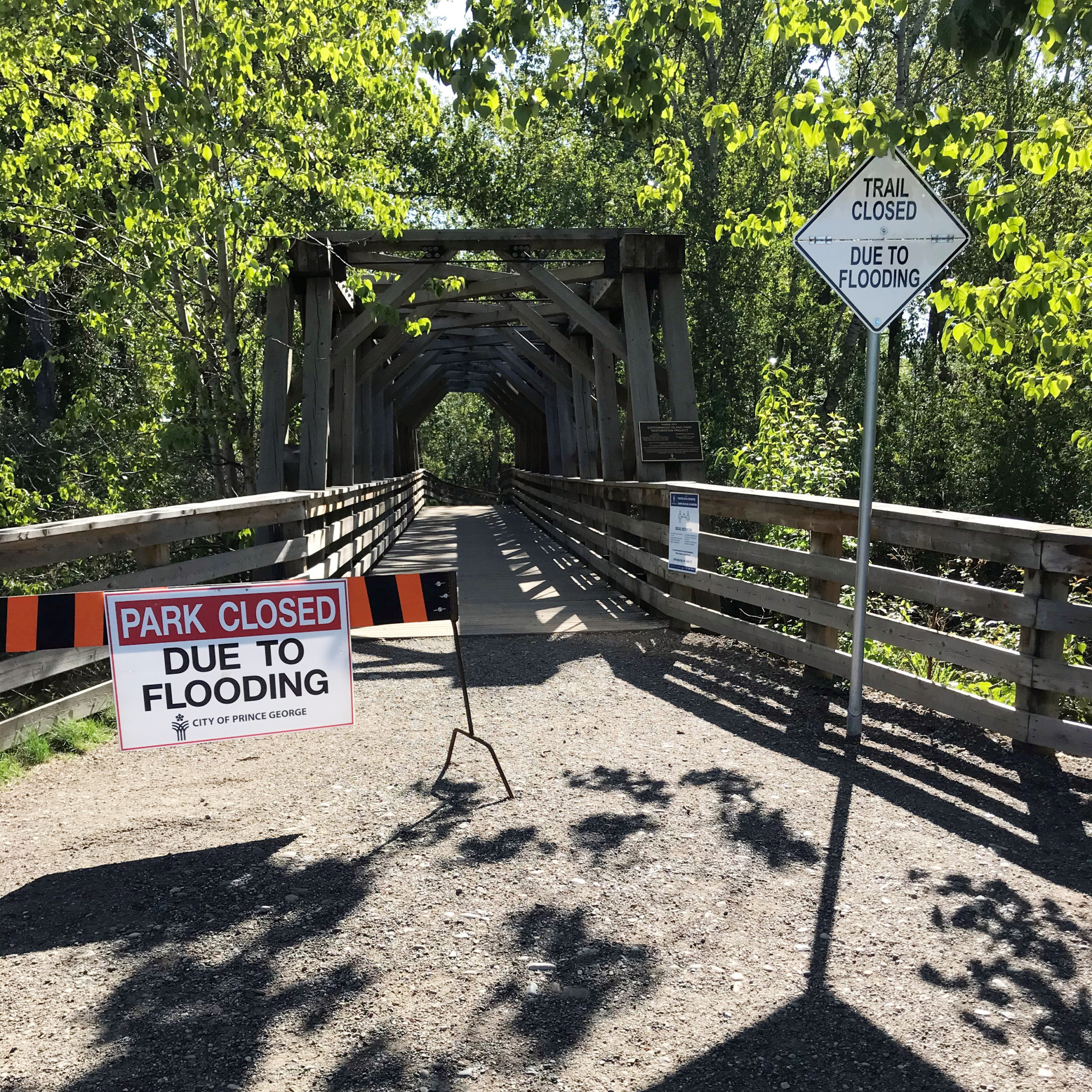
Some of the areas at Cottonwood Island Park and Heritage River Trail have even been closed off due to flooding already.
“One of the metrics we use is the percentile so right now we’re into about the 95th or 99th percentile which is what we see only 5 or 10 percent of the time this time of year,” Campbell noted.
Campbell says that more parts of Prince George could be at risk if the water levels get significantly higher, specifically Paddlewheel Park and areas adjacent to the river that have been an issue for flooding in the past.
He reminds everyone to be cautious around bodies of water this time of year, especially as the riverbanks become unstable.
Something going on in the Prince George area you think people should know about?
Send us a news tip by emailing [email protected].


