Update 11:20 PM
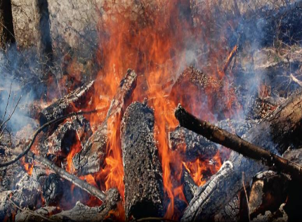
The Peace River Regional District expanded the Evacuation Order area for the West Kiskatinaw River wildfire.
The additional areas are sparsely populated and include areas North of the District of Tumbler Ridge municipal boundary, between Hwy 29S and Hwy 52N, including Moose Lake and Moose Lake Forestry Service Road.
The following is a summary of all the areas that are now included due to immediate threat to life safety:
- along Hwy 52E between km 220 (Cutbank Dam) and km 195
- following the Kiskatinaw River west to south of Bearhole Lake and including Bearhole Lake Road to the District of Tumbler Ridge boundary
- North following the Tumbler Ridge boundary to Hwy 29S, including Moose Lake and Moose Lake Forestry Service Road
- In a northeast direction to a point of intersection at Hwy 52 N, on the east side of the Highway (Not including the highway) to the northern most intersection of the Moore road (Approx. Km 33 on Highway 52N)
- West following Halfmoon Creek, Oetata Creek to the Kiskatinaw River to a point of intersection at the Cutbank Dam at Highway 52E.
Original Story
Residents of Tumbler Ridge and Bearhole Lake are being asked to head to Dawson Creek.
An Evacuation Order was issued by the community and the Peace River Regional District due to the West Kiskatinaw River wildfire posing a threat to human life.
Anyone in the evacuation order area is being asked to report to the reception centre in Dawson Creek at the Ovintiv Events Centre.
Residents are being told to leave through Highway 29 or Highway 52 east/boundary to Dawson Creek.
An Emergency Alert & #Evacuation Order have been issued by District of Tumbler Ridge & @prrdistrict for District of Tumbler Ridge & East incl. Bearhole Lake. Impacted residents should evacuate immediately. More info: https://t.co/irgWSE100c #BCWildfire #TumblerRidge
— Emergency Info BC (@EmergencyInfoBC) June 8, 2023
Something going on in the Prince George area you think people should know about?
Send us a news tip by emailing [email protected].


