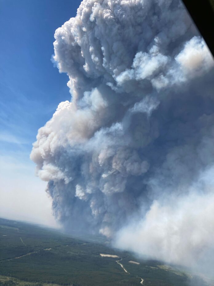
The BC Wildfire Service and Peace River Regional District issued two more evacuation orders pertaining to the Donnie Creek Wildfire near Fort Nelson and Fort St. John.
One of them is for areas east of Highway 97 North between Mile 192 and Mile 207 and extending east 20 km of the roadway.
In addition, several properties east of Highway 97 North between Sikanni Chief and Pink Mountain are also under an evacuation order.
For a full list of properties, click here.
Fire Information Officer Julia Caranci told Vista Radio the fire was fueled by a strong push of winds from the north yesterday (Sunday).
“It exhibited aggressive wildfire behaviour in some parts of the fire and grew to the south. As a result, the fire did take advantage of that northerly push in winds and receptive fuels and that did give it the momentum to move past a couple of previously-established trigger points.”
#BCWildfire continues to respond to the Donnie Creek wildfire (G80280), located approx 158 km N of #FortStJohn and 136 km SE of #FortNelson. Due to gusty, northwesterly winds this afternoon, this wildfire is exhibiting aggressive fire behaviour and has grown to the south. pic.twitter.com/0CzmTk0CxM
— BC Wildfire Service (@BCGovFireInfo) June 12, 2023
Donnie Creek is 466-thousand hectares in size, the second largest wildfire in BC’s history.
There are 84 wildfires burning across the province, 55 of which are in the PG Fire Centre – three are of note.
Twelve helicopters, 25 pieces of heavy equipment and 130 fire personnel are on site within the Donnie Creek Complex.
Something going on in the Prince George area you think people should know about?
Send us a news tip by emailing [email protected].


