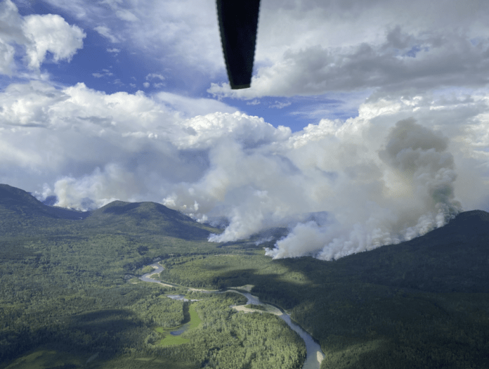
As of noon today, the vicinity of the Whitefish Lake wildfire, 40 kilometerste northwest of Fort St. James, will be off-limits to the public.
According to the BC Wildfire Service, the restricted area includes:
- Referencing to geographic locations, geographic coordinates and the 16-point compass rose directions, starting at Whitefish Bay on Stuart Lake at coordinate A (54º 34.918’N, -124º 43.220’W); then heading S to an area near the east end of Jenny Lake at coordinate B (54º 27.917’N, -124º 43.220’W); then heading SSW to Mount Beals at coordinate C (54º 24.452’N, -124º 44.954’W); then heading WNW to the confluence of Shass Creek and Sutherland River at coordinate D (54º 27.680’N, -125º 04.814’W); then heading NNW to the confluence of Nancut Creek and Cunningham Lake at coordinate E (54º 34.595’N, -125º 10.260’W); then heading N to the south shore of Stuart Lake at coordinate F (54º 39.374’N, -125º 10.260’W); then heading E along the south shore of Stuart Lake to the starting point at Whitefish Bay at coordinate A.
Anyone found violating the area restriction could be issued a ticket for up to $1,150.
The Whitefish Lake wildfire is one of the Prince George Fire Centre’s three wildfires of note.
Something going on in the Prince George area you think people should know about?
Send us a news tip by emailing [email protected].


