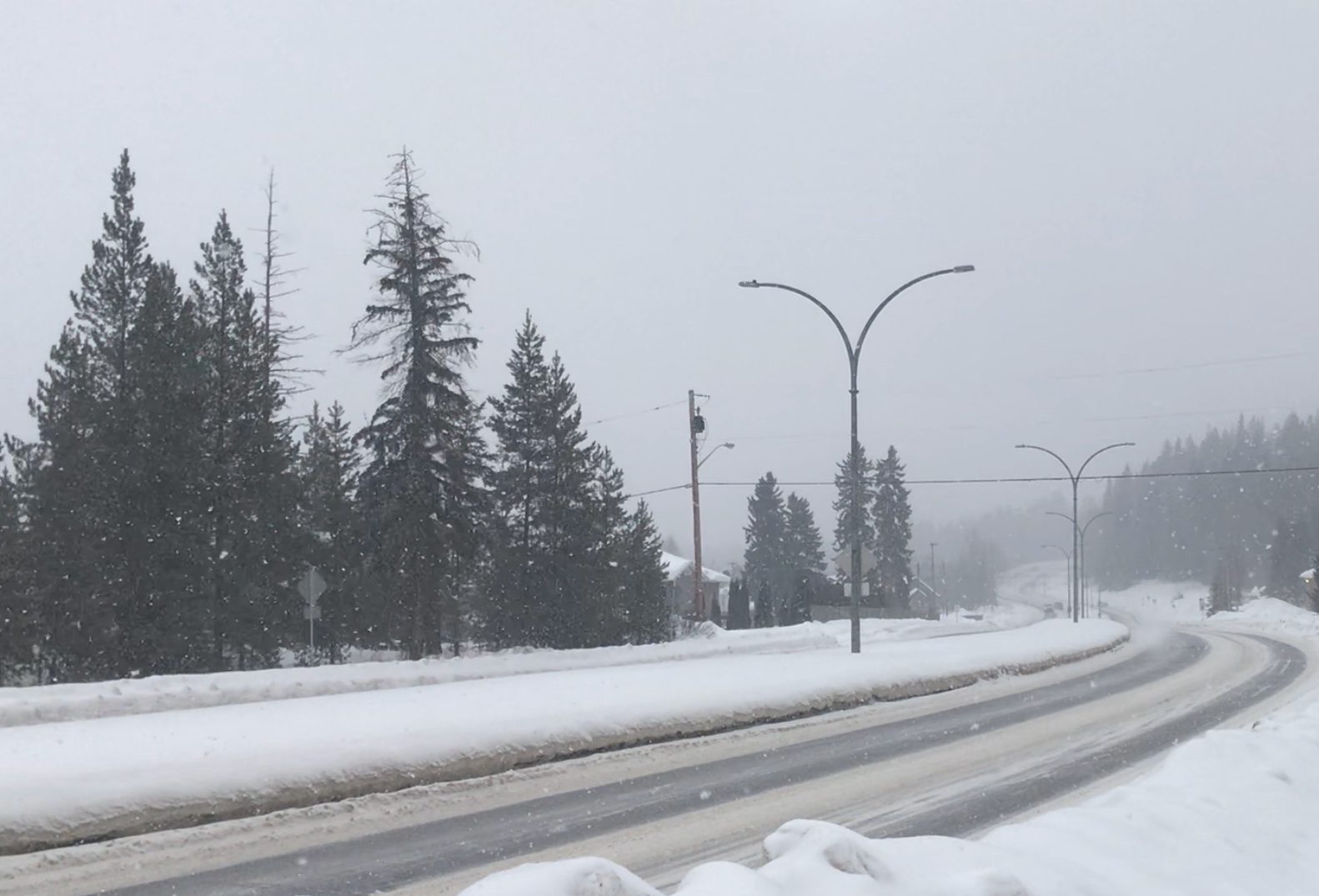
It continues to feel a lot like winter in Prince George as another two to five centimetres fell in the area.
This is the latest of a constant barrage of systems plowing through the northern capital leaving a lot of snow behind.
“A real stormy pattern we’ve been in and when we look at a bunch of the snow depths in and around the area, Prince George has about 41 centimetres on the ground, which is certainly a good amount of snow we’ve had recently,” said Trevor Smith, Meteorologist with Environment Canada.
The latest snow dump is a drop in the bucket compared to what we’ve seen recently.
“The two to five centimetres is what we saw through all of our cameras but that should be about it for a while, we’re going to see some flurries through the morning still but not much in the way accumilation.”
Does the wave of snow mean a below-seasonal winter is not in the cards, Smith says that’s not the case.
“I think we were below where we should be this time of year so it was just a matter of catch up so we’re probably closer to where we should be but in terms of the exact normals it’s hard to say. The other story is the below normal or slightly below normal temperatures we’ve been seeing lately are really going to change as we’re going to see a pacific flow of air coming in.”
Some of the snow could be melting as early as Friday with a potential high of plus six degrees.
Something going on in the Prince George area you think people should know about?
Send us a news tip by emailing [email protected].


