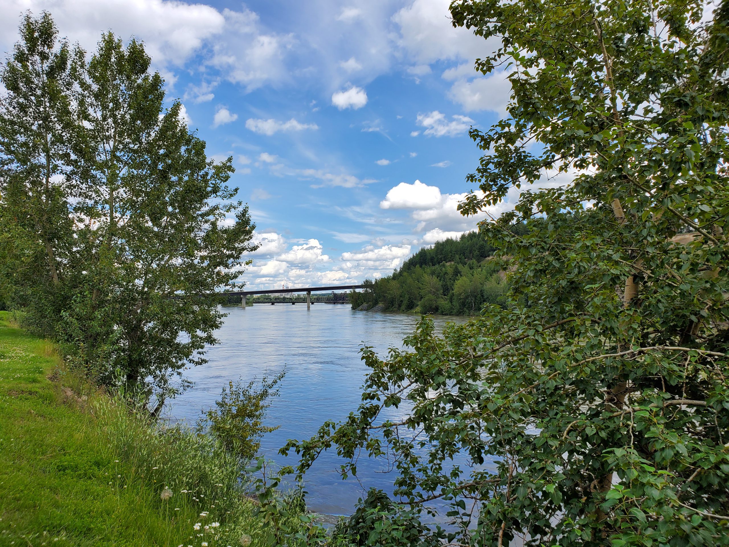
The head of the BC River Forecast Centre says the Prince George area saw record high snowpack levels throughout the winter.
As of June 1st, the snowpack level in the Upper Fraser East basin was 185 percent of normal.
“We’ve seen extremely cool weather over the past two months and that has really delayed that melt cycle through the province,” said BC River Forecast Centre Head, Dave Campbell.
“In a typical year, we might have melted half of the snow, we’re seeing this year only about 20% of snow has been melted.”
According to Campbell, the snow is starting to melt across most of the Province, bringing up a number of rivers including the Fraser River.
“In the higher snowpack areas, the high mountains in the interior, were seeing not only is it delayed, but there’s lots of snow to come down in the next few weeks,” Campbell said.
“This includes areas around the Cariboo Mountains, areas draining into the Quesnel River, the North Thompson River and it’s Tributaries, up into the Upper Fraser and the Robson Valley in particular have in some cases, record snowpack.”
Yesterday (Wednesday,) a Flood Watch was issued for the Quesnel and Horsefly River, and a High Streamflow Advisory was issued for the Fraser River between Quesnel and the Ocean.
Campbell added that the BC River Forecast Centre is anticipating higher flows within the Prince George area in the next two weeks.
“That snow has not fully started to melt yet, so we’re really quite early days in terms of melt cycle through Prince George,” Campbell said.
“We anticipate we’re probably maybe another week before we get into that critical window that will come through Prince George, but we still have that elevated snowpack concern through the Prince George area, and are expecting to see high flows as we come into the next week or two here.”
Something going on in the Prince George area you think people should know about?
Send us a news tip by emailing [email protected].


