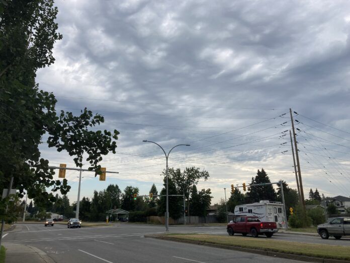
It was an eventful end to Canada Day in Prince George as the city was under a brief Tornado warning.
An Emergency Alert was sent to mobile device just after 8pm last night (Tuesday) before being downgraded to a severe thunderstorm warning.
Environment Canada Meteorologist, Matt Loney told MyPGNow.com the weather system weakened a short time later and explains why tornadoes are a rare occurrence in the province.
“Because of the mountainous terrain, generally speaking, tornadoes have a tough time getting there act together. Thunderstorms have a hard time developing as tornadoes because of the mechanical disturbance the terrain will provide for a thunderstorm.”
The Northern Tornadoes Project based out of Western University in London, Ontario notified MyPGNow by stating Tuesday’s forecasters issued a tornado warning based on radar signatures and then ended it once those were no longer apparent.
Reports of possible tornado in the area later turned out to be either hail shafts.
As for June as a whole, dry and seasonal sums it up for PG.
Loney added while it didn’t always feel like summer, average temperatures were pretty much the same.
“Temperatures were pretty much bang on normal. We had a mean temperature of 13.8 degrees while the normal is 13.7 so it was a tiny tick above normal.”
As for the rain, the city received 65% of its normal precipitation in June – 44.6 millimetres fell in the area while the typical benchmark is 68mm.
Something going on in the Prince George area you think people should know about?
Send us a news tip by emailing [email protected].


