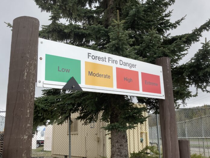
A cooler start to Spring as well as consistent rain through the start of May is helping reduce the risk of wildfire hazard throughout Northern BC.
“Part of that comes in with both the accumulated over-Winter precipitation, which kind of refills the moisture in all of the available fuels, but also keeps that ground layer of forest fuels high in moisture content,” said Sharon Nickel, BC Wildfire Service Communications Specialist.
“With everything being wetter, it’s harder to ignite, and therefore harder for fire to spread if one were to ignite.”
Nickel added that we’ve received above normal levels of precipitation in the North so far.
“We are expecting the cooler than normal temperatures to continue through May, but some of the levels we’ve had in the North, particularly up as far as Fort Nelson, we’ve seen almost 150-200% of the typical snowpack.”
Between April 1st and 28th, Nickel says we’ve had 74 wildfires across the province, close to the five-year average of 79. Just six have been in the Prince George Fire Centre.
Despite nearly matching the average, she added that only around 309 hectares have been burnt this year, compared to the five-year average of 656.
Nickel says the outlook for this year so far is that we’re expecting a cooler than normal Summer, but notes that the historical skill of long-range temperature forecast is between 50-70%.
“It is still early to see how the forecast will turn out for the fire season, right now there are no current signs of another heat dome coming, but that can’t be completely ruled out.”


