Updated Story 4:15 PM
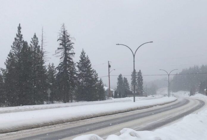
Environment Canada has issued a Winter Storm Warning for areas including Prince George and Vanderhoof.
Total snowfall accumulations of 30 to 40 cm are expected by Wednesday afternoon with near-zero visibility in heavy snow.
A Pacific frontal system will stall over the BC Interior giving a prolonged period of snow.
Light snow from the system will become heavier tonight (Monday) and will persist through Wednesday.
Original Story 2:21 PM
A blanket of snow could be on the horizon for the Prince George area.
According to Environment Canada it will start to fall later today (Monday) with about 5 cm expected.
Another 5 to 10 cm is in the forecast for both tomorrow (Tuesday) and Wednesday.
Environment Canada Meteorologist, Armel Castellan told Vista Radio that the northwesterly system will be a slow-moving one.
“The event is really a multi-day event At this point, as we are talking into Tuesday, seeing yet another 5 to 10 centimetres. If we saw the maximums of those numbers, we would be in that 25-centimetre range.”
“It will take roughly until Thursday before we really see that movement and that’s probably when things will start to peter out for the Prince George area. In the medium term as I was mentioning, Tuesday night into Wednesday and Wednesday night continues to see some pretty good echoes when we look at all the models and I believe that you are not going to stop the snow as early as Tuesday night. I feel like the Wednesday continuation is relatively likely.”
Temperatures could inch up to above zero by Thursday.
As for what February might look like as a whole, Castelllan stated the week of February 7th to the 14th looks like a bit of a warm-up for our area.
But, the rest of the way is anyone’s guess.
“There’s been a little bit of a flip-flop. Our models were weighted a little bit heavily from the current cold that is finishing already and as a result of that, we are more pessimistic about the overall February outlook. But, now things are starting to look a little bit less pessimistic if cold is not up your alley. It looks like kind of that line between Stuart and McBride and north would stay in the cold category.”
“And then further south of essentially the Yellowhead Highway (Highway 16) the indications are more about the near-normal categories,” said Castellan.
He added there is no indication yet of an early spring or quick continuation of winter either.


